When you click on links to various merchants on this site and make a purchase, this can result in this site earning a commission. Affiliate programs and affiliations include, but are not limited to, the eBay Partner Network.
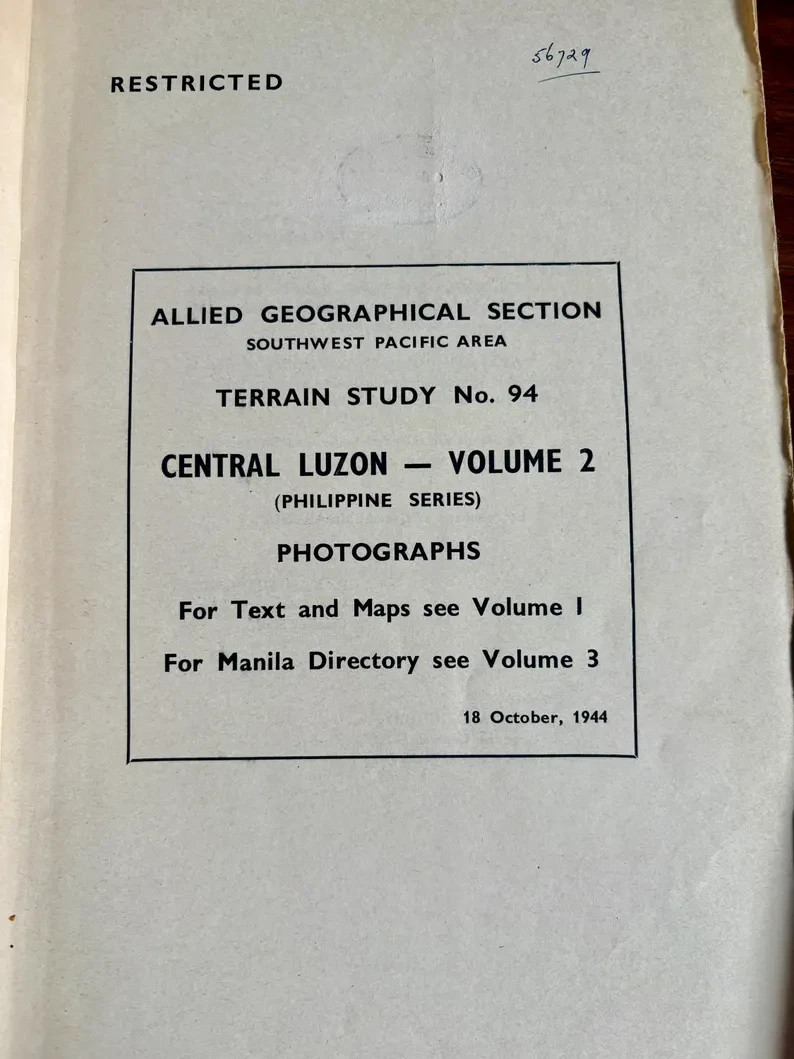
WWII Allied Intelligence Aerial Reconnaissance Book 1944 Central Luzon Philippines Terrain Study No.94 MacArthur GHQ RestrictedOriginal WWII Allied Geographical Section intelligence publication issued within General MacArthur’s Southwest Pacific command.
This volume forms part of the Terrain Study No. 94 Central Luzon series and contains aerial reconnaissance photography used for operational planning during the liberation of the Philippines.
Unlike companion volumes containing maps or text analysis, this book is devoted entirely to photographic intelligence, including annotated aerial imagery, infrastructure documentation, landscape analysis, and fold-out reconnaissance panoramas.
Produced under GHQ authority and marked Restricted, the publication reflects the best intelligence available at the time of issue.
The internal statement confirms issuance by command of General MacArthur, placing the document firmly within wartime Allied operational intelligence production.
Contents
Extensive aerial reconnaissance photographs (approx. 40–50)
Annotated landmark identification
Fold-out panoramic reconnaissance imagery
Indexed photographic reference list
Infrastructure, terrain, transport and river documentation
Pre-war and wartime comparative imagery
Condition
Structurally sound
Age toning consistent with wartime paper stock
Light edge wear and minor handling marks
Fold-outs intact
Specifications
Year: 1944
Issued by: Allied Geographical Section, Southwest Pacific Area
Command authority: GHQ SWPA (General MacArthur)
Format: Softbound intelligence volume
Size: approx. 36 × 24 cm
Thickness: approx. 1 cm
Weight unpacked: approx. 825 g
Classification: Restricted
Direct wartime Allied intelligence document
MacArthur command attribution
Aerial reconnaissance, highly desirable WWII category
Philippine campaign relevance
Fold-out reconnaissance imagery
Survival outside institutional archives is uncommon
Ideal for:
WWII collectors
Military intelligence collectors
Aviation & reconnaissance historians
Philippine campaign historians
Archival ephemera collectors
Packed carefully wrapped first in archival tissue then foam or bubblewrap. Ships from Tasmania, Australia with care.