When you click on links to various merchants on this site and make a purchase, this can result in this site earning a commission. Affiliate programs and affiliations include, but are not limited to, the eBay Partner Network.
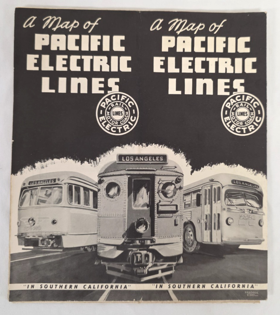
Original vintage folding map issued by the Pacific Electric Railway, famous for operating Southern California's extensive “Red Car” interurban railway system.
Titled “A Map of Pacific Electric Lines – In Southern California,” this large-format map shows the rail and motor coach network throughout the greater Los Angeles and Southern California region.
A particularly attractive example with its original illustrated cover featuring a Pacific Electric rail car and motor August 1949
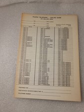
Pacific Electric RailwaySouthern California / Los Angeles areaRail and motor coach system mapApprox. 21.75 × 33.5 inches fully openedOriginal folding transportation mapPeriod illustrated Pacific Electric coverIncludes detailed route information and inset mappingPacific Electric's Red Car network was one of the largest electric interurban railway systems in the United States and played an important role in the development of greater Los Angeles.
Condition:
Original vintage condition with expected fold lines, handling wear, toning and minor age-related wear. Please review photographs carefully for condition, especially along the original folds and fold intersections. Map remains highly displayable.
An excellent piece of original Southern California transportation history for a collector of Pacific Electric, Red Car, Los Angeles railway, trolley, streetcar or transit memorabilia.