When you click on links to various merchants on this site and make a purchase, this can result in this site earning a commission. Affiliate programs and affiliations include, but are not limited to, the eBay Partner Network.

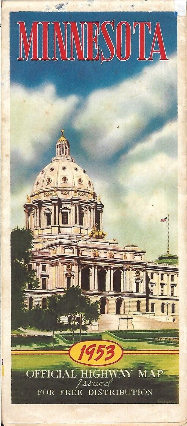
1953 MINNESOTA Official State Highway Road Map Minneapolis Brainerd Fergus Falls:
$12.99
Handsomelarge-format fold-out 1953 official highway map of Minnesota, printedmore than 68 years ago. - This map opens to a verygenerous 38" x 32" and hasgreat detail on old road alignments and route numbers, with cartographyby H.M. Gousha.
- There are inset plans of Brainerd, Hibbing, St. Cloud,Winona,Rochester, Virginia, Mankato, South St. Paul, Fergus Falls, Austin,Albert Lea, Faribault, Bemidji, Moorhead, Red Wing, Owatonna, andMinnapolis-St. Paul.
- The map also shows Minnesota's Northwest Angle, on the west shore ofthe Lake of the Woods and labeled "The most northerly part of theUnited States."
- The map is dated 1953 and was distributed by theDepartment is in very good, lightly used condition, bright and clean,with minor fold wear and a couple of tiny edge tears, neatly mendedwith archivaltape. Please see the scans and feel free to ask anyquestions.
- Buy with confidence! We are always happy to combineshipping on thepurchase of multiple items — just make sure to pay for everythingat one time, not by SixBit's eCommerce Solution

|


